Antarctica Satellite Map [Laminated]
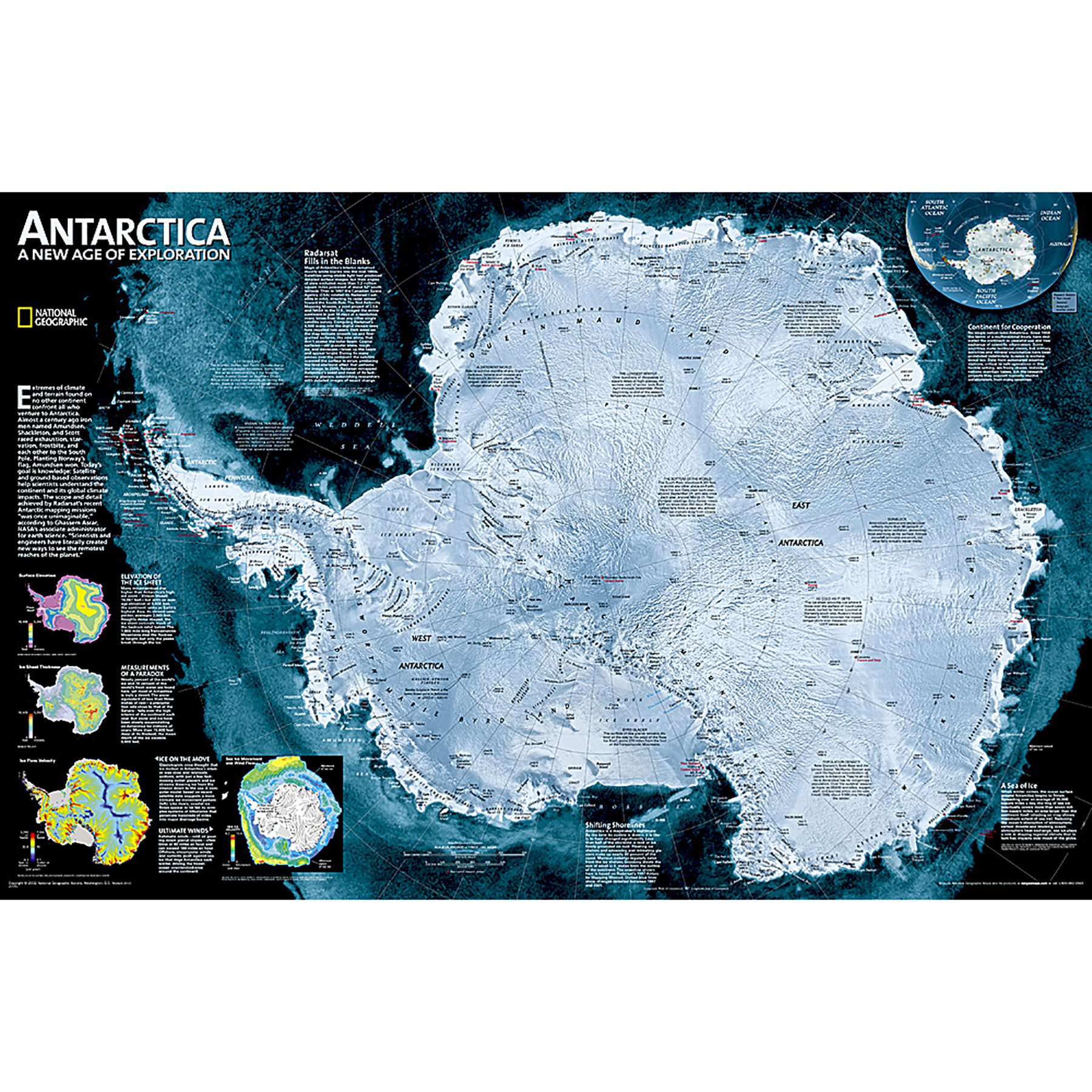
A striking view of Antarctica's terrain, compiled from 4,500 satellite scans. Additional inset maps show surface elevation, ice sheet thickness, velocity of ice flow, and sea ice movement and windflow.
The map is encapsulated in heavy-duty 1.6 mil laminate which makes the paper much more durable and resistant to the swelling and shrinking caused by changes in humidity. Laminated maps can be framed without the need for glass, so the frames can be much lighter and less expensive.
Social Studies : Maps & Map Skills
National Geographic Maps - NGMRE00620144
Quantity Available in warehouse in Semmes, Alabama for Web Orders: 0
(This item is most likely NOT AVAILABLE in our store in St. Louis. To double check or have us find something similar, please call 314-843-2227 with the sku 'NGMRE00620144' and let us know how we can help)
Package Dimensions:
Grade: Grade 9-12
Age: 14 - 18 years old
Most Popular

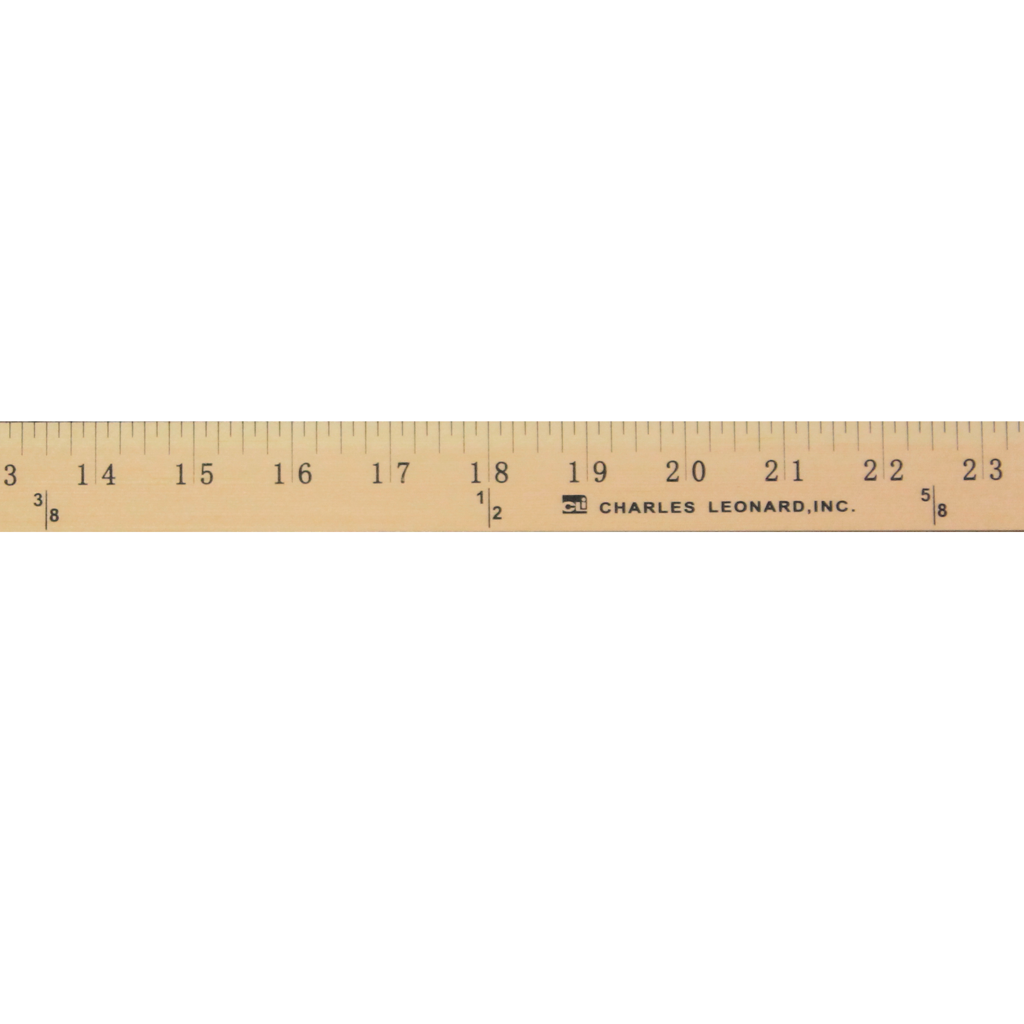
Metal Edged Yardstick Ruler, Inches and 1/8 Yard Measurements, Natural Wood, 36 Inches
Advantus - CHL77565
$4.19


April News
.png)
.png)
