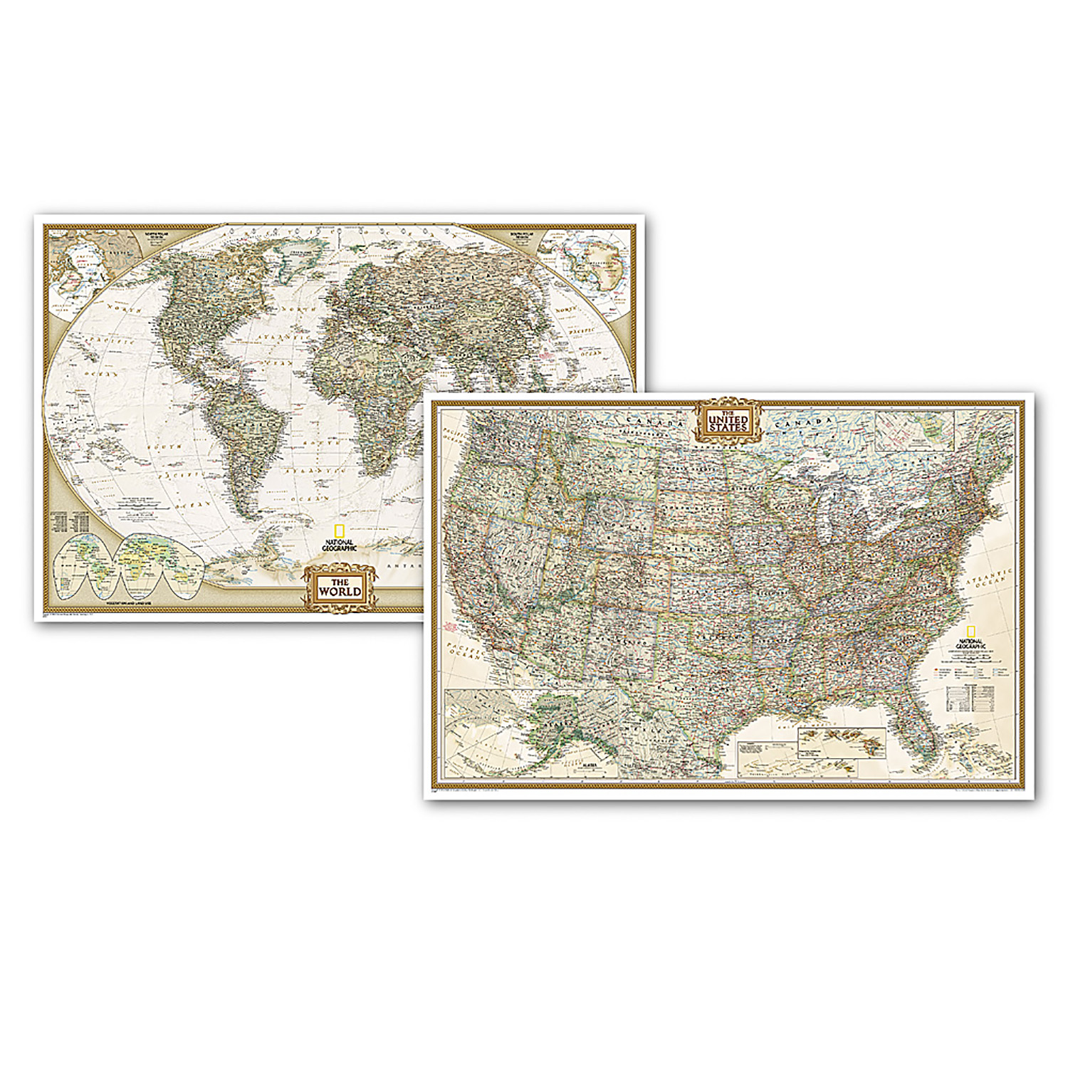
World and United States Executive, Poster Size, Map Pack Bundle, 36" x 24"
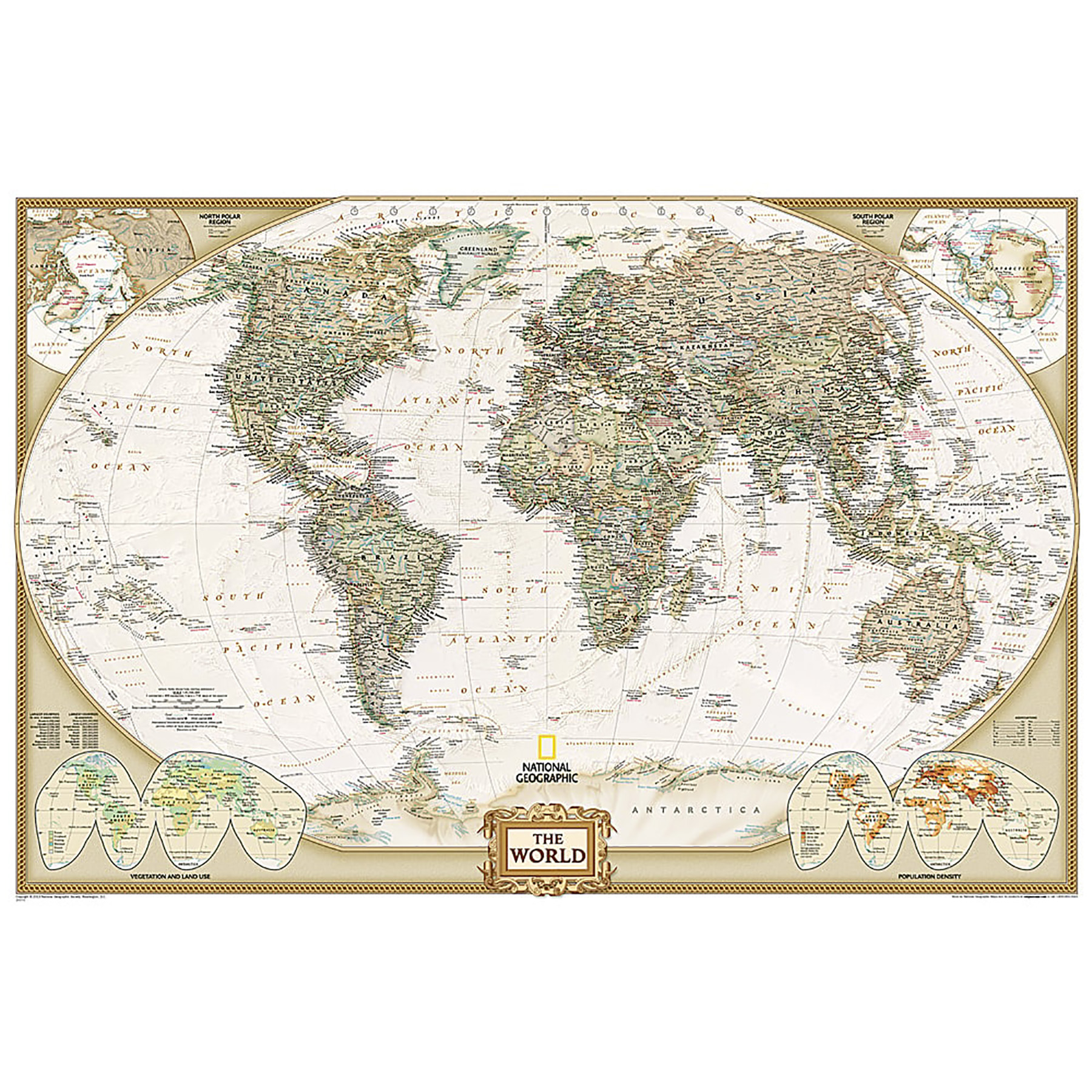
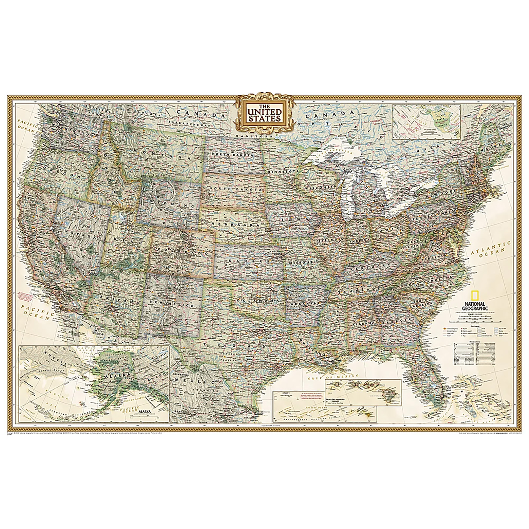
National Geographic's World and United States maps are the standard by which all other reference maps are measured. The World and United States maps are meticulously researched and adheres to National Geographic's convention of making independent, apolitical decisions based on extensive research using multiple authoritative source. Thousands of place names are carefully and artistically placed on the maps to maintain legibility even in the heavily populated areas of Europe, Asia and the Middle East. Details include clearly defined international boundaries, cities, physical features, rivers, and ocean floor features. Corner inset maps feature vegetation and land use, and population density as well as the north and south polar regions.
Poster sized maps make a perfect addition to any sized space. They are specially designed to maximize content in a smaller footprint than standard wall maps and fit precisely into precut poster sized frames which makes finishing and hanging them a breeze.
The World and United States Executive Map Pack Includes:
World Executive Map [Poster Size]
United States Executive Map [Poster Size]
These maps are packaged in a two inch diameter clear plastic tube. The tube has a decorative label showing a thumbnail of the maps with dimensions and other pertinent information.
All proceeds from the purchase of a National Geographic map help support the Society's vital exploration, conservation, scientific research, and education programs.
Social Studies : Maps & Map Skills
National Geographic Maps - NGMRE01021232B
Quantity Available in warehouse in Semmes, Alabama for Web Orders: 10
(This item is most likely NOT AVAILABLE in our store in St. Louis. To double check or have us find something similar, please call 314-843-2227 with the sku 'NGMRE01021232B' and let us know how we can help)
Package Dimensions: Length 32" Width 2" Height 2"
Grade: Grade 9+
Age: 14+ years

